
Home » Routes » Europe » Wales » Snowdonia National Park » Cader Idris and Nearby Hills » The Llanfihangel y Pennant Path up Cader Idris
The Llanfihangel y Pennant Path up Cader Idris
By Dave Roberts ![]()
on December 18, 2017 5/5 (1)
Posted as a walk in – Cader Idris and Nearby Hills, Europe, Snowdonia National Park, Wales
The Llanfihangel y Pennant Path up Cader Idris
Route Essentials
Route Summary
A long route up Cader Idris from the quieter side.
See the end of the article for local information about parking, public transport facilities, pubs and cafes.
Distance
8.47 km
Ascent
841 m
Time
allow 7-8 hours
Calculate the time using Naismith’s Rule and factor in your own pace.
Start Location
Llanfihangell y Pennant
Difficulty
Hard Walk
Hazards
Weather Forecast:
Check out our Best Mountain Weather Forecast?
Remember that we cannot outline every single hazard on a walk – it’s up to you to be safe and competent. Read up on Mountain Safety , Navigation and what equipment you’ll need.
The Llanfihangel y Pennant Path up Cader Idris Ordnance Survey Map and GPX File Download
The Llanfihangel y Pennant Path up Cader Idris
The Llanfihangel y Penant Path up Cader Idris is a longer, quieter approach to Cader Idris that sets off from the quiet hamlet of Llanfihangel y Pennant and joins the Pony Path up to the summit. It’s visible on Google Streetview – so you can check the route out in its entirety there as well. It may lack the imposing views of the Minffordd and Fox’s paths, but just about trumps the Pony Path on remoteness and lack of people. It’s also the longest route up Cader Idris, with a return trip being an impressive 17km.
The Llanfihangel y Pennant Path up Cader Idris Route Description
1 Start at the National Park Car Park near the church at Llanfihangel y Pennant and follow the country lane right for 1.25km. This takes you past some houses, including the house of Mari Jones who walked 26 barefoot miles, rather than kilometres in 1800, to Y Bala to buy a Welsh bible.

2 The tarmac ends though you barely notice as a well made track leads off ahead and veers left. After around 750m, the official bridleway continues right. This is the one on the Google streetview. An easier way is to continue along the good track. It isn’t a right of way and the first half doesn’t cross access land, but the route we’ve always used and is easier going. Surely this is a prime candidate for a permissive path?

3 Keep on the track for just shy of 2km, which the ‘official’ route joins after 1km, which brings you steadily up to Gwastadfryn.
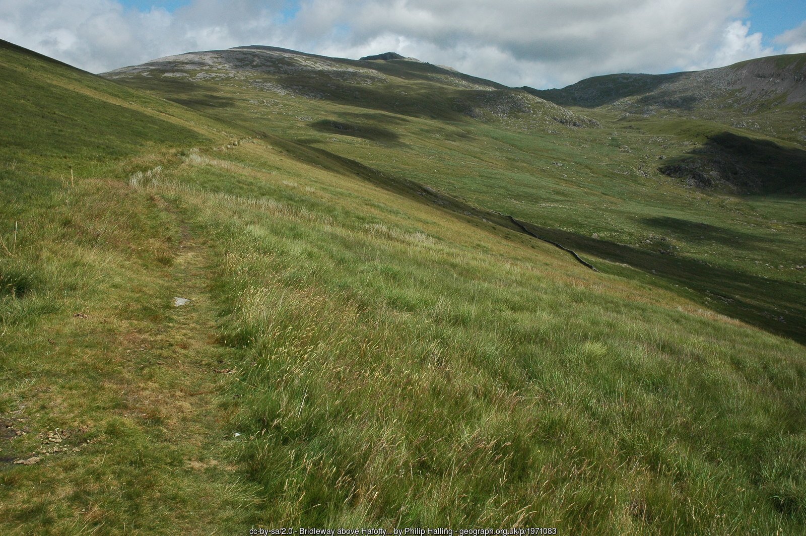
4 Cross the river here and take the grassy track that snakes it’s way uphill which is less defined but should be clear enough. Ensure you take a right to contour around the slopes of Tyrrau Mawr.
5 The track continues its way steadily up to Rhiw Gwredydd at an easy incline, with the views just as mild until you top out at the bwlch. From here you’ll be treated to views across the Mawddach Estuary, hopefully accompanied by a cuppa and a sandwich.

6 You’ll join the Pony Path here which is a motorway in comparison to the track you’ve followed so far! It is easily followed to the summit as it climbs surely and steadily to the summit, being easy enough to follow for the duration.


7 You’re finally at the summit, which has a shelter just below if conditions aren’t great. If you’re lucky, you won’t need to venture in as you take in the extensive views.
For more walks up Cader Idris, visit our All the Walking Routes up Cader Idris article.


")
")
")


Local Information and Recommended Maps and Guidebooks
Route Summary:
A long route up Cader Idris from the quieter side.
This walk includes the Washi of Cadair Idris – Penygadair
This walk includes the 2 Hewitts of Cadair Idris – Penygadair, CyfrwyThis walk includes the 2 Nuttalls of Cadair Idris – Penygadair, CyfrwyRoute Start Location: Llanfihangell y Pennant
| Distance |
Ascent |
Time |
| 8.47 km | 841 m | allow 7-8 hours |
Calculate the time using Naismith’s Rule and factor in your own pace.
Activivity Type: Hard Walk
Summits and Places on this Route


Facilities
Toilet at start
Hazards
Remember that we cannot outline every single hazard on a walk – it’s up to you to be safe and competent. Read up on Mountain Safety , Navigation and what equipment you’ll need.
Parking : LL36 9TU
Limited Parking at start
Public Transport:
none


Guidebooks:
 |
 |
 |
![]()
Dave Roberts
More Posts by Dave Roberts

Tryfan South Ridge Grade 1 Scramble

Walk to Llyn Llywelyn from Rhyd Ddu
