
Beinn Fhionnlaidh
Posted in Marilyn Hills In the UK, Murdos, Simm, The Munros
Beinn Fhionnlaidh
Summit Details
About Beinn Fhionnlaidh
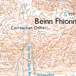
Beinn Fhionnlaidh is a summit in the region or range in Scotland. Beinn Fhionnlaidh is 959 metres high. All the walking routes up Beinn Fhionnlaidh on Mud and Routes can be found below. The top can be identified by the trig point in shelter cairn. Other Notes: outcrop of rock 13m S at NN 09514 49763 may be higher.
Walks up Beinn Fhionnlaidh
No items found
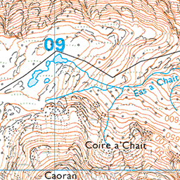
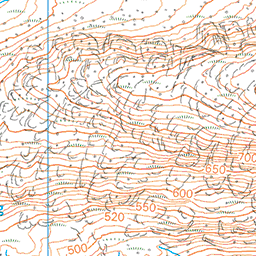
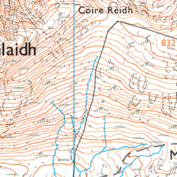
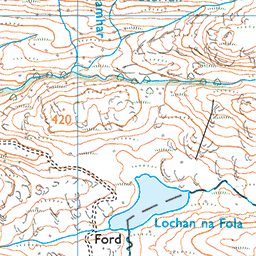
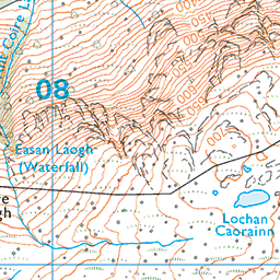
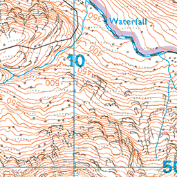
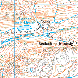
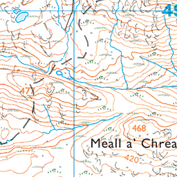
Ordnance Survey Summit Map for Beinn Fhionnlaidh

Beinn Fhionnlaidh Summit Stats
Height in Metres: 959 metres
Height in Feet: 3146 feet
Range: Loch Linnhe to Loch Etive
Prominence: 510 metres
Parent Summit:
Grid Reference: NN095497
Col Height: 449
Col Grid Reference: NN111506
Summit Classification: Marilyn Hills In the UK, Murdos, Simm, The Munros
National Park, County or Country: Argyll and Bute, Highest Mountains in Scotland, Loch Linnhe to Loch Etive
Recommended Maps: Landranger Map 50 Explorer Map 384
Data with Acknowledgement – Database of British and Irish Hills
What’s Near Beinn Fhionnlaidh?
Nearby Mountain Summits:
- Beinn Fhionnlaidh East Top - 1.2km
- Meall a’ Chreamha - 1.2km
- Meall a’ Chreamha East Top - 1.7km
- An Grianan NE Top - 2.2km
- Sgor na h-Ulaidh - 2.6km
- An Grianan - 2.8km
- Meall Lighiche - 3.1km
- Meall a’Bhuiridh - 3.2km
Places, Walks and Articles:
- Ben Nevis via Carn Dearg from the South - 19.2km
- An Steall Bàn – Steall Falls - 20.3km
- Ben Nevis via the CMD East Ridge - 20.6km
- Walk to An Steall Falls via Nevis Gorge from Glen Nevis Upper Falls Car Park - 20.6km
- All the Walking Routes up Ben Nevis - 22.7km
- The Mountain Track up Ben Nevis - 23.4km
- Carn Mor Dearg CMD Arete up Ben Nevis from Glen Nevis - 23.4km
- Best Guidebook Walks 5 – The Lochaber Traverse - 24.3km
Businesses Near Beinn Fhionnlaidh
Find more on our Business Directory and add your business FREE here.